
OruxMaps, the app for your outdoor activities
Your app for outdoor activities
OruxMaps GP is considered by many outdoor enthusiasts to be the Swiss Army knife of GPS navigation on Android. Unlike simpler commercial apps, OruxMaps is a high-precision tool designed for users who need complete control over their maps and routes.
descarga desde google play
Si tienes un Android, instala la app desde la tienda

ahora también para ios (iphone)
Si tienes un iphone, instala la app desde la tienda de Apple
Main Features
OruxMaps stands out for its extreme versatility. Here are its key features:
1. Advanced Map Management
- Online and Offline Modes: You can use online maps (such as Google Maps, Mapbox, or OpenStreetMap) or upload your own maps for offline use, ideal for mountainous areas without coverage.
- Supported Formats: Supports a vast number of formats, including Mapsforge (vector), Garmin (.img), MBTiles, GeoPDF, GeoTIFF, and more.
- Map Creator: Allows you to download sections of online maps to convert them into offline maps directly from your mobile device.
2. Route Recording and Navigation
- Tracks and Waypoints: You can record your routes (tracks) and mark points of interest (waypoints) with attached photos, audio, or videos.
- Exchange Formats: Imports and exports in GPX, KML, KMZ, TCX, FIT, CSV, and others. It is fully compatible with tracks downloaded from Wikiloc or Strava.
- Route Alerts: Alerts you with voice or sound if you deviate from the path or approach a point of interest.


3. Connectivity and Sensors
- External Sensors: Supports heart rate monitors, cadence and speed sensors, bike power meters, and temperature sensors (via ANT+ or Bluetooth).
- External GPS: You can connect an external GPS receiver for greater accuracy if your phone’s GPS fails.
- AIS and APRS: Includes specific functions for nautical navigation (AIS) and free flight (paragliding/hang gliding).
4. Analysis and Visualization Tools
- Trip Computer: Configurable screens with over 100 statistics (altitude, speed, gradient, barometric pressure, etc.).
- 3D Maps: Ability to view the terrain in three dimensions (requires a subscription or DEM relief files).
- Layer Overlay: You can load KML or SHP files as layers on top of the main map to view perimeters or exclusion zones.
MORE FEATURES…
For all your outdoor activities: walking, running, mountain, hiking, trekking, cycling, sailing, skiing,…
Support for multiple map formats. Offline (mapsforge, garmin .img, geopdf, rmap, mbtiles) Online (TMS, WMS, WMTS,…).
Configure the interface to your liking. Add controls, change colors, buttons,…
Trip computer view, with multiple views (dashboard, inclinometer, compass, graphs,…).
Plan your tours. Different search engines (online/offline) to obtain the route to follow.
Download online maps for offline use (limited, not possible with all maps).
Calibrate your own maps, starting from an image or a pdf.
Use different profiles, with different settings, for each type of activity you do.
If you are an OpenStreetMaps editor, the app has specific features for you.
Export/import your routes and activities in different formats (GPX, KML, KMZ, TCX, FIT, GeoJSON, CSV,…).
Support for external GPS using Bluetooth devices. Support to NTRIP corrections (device compatible required).
Follow your routes receiving help (alarm when leaving the route, or when approaching waypoints).
Use the app to search for geocaches.
Use polygons (loaded as layers) as exclusion zones or security perimeters.
Record your trips. Add waypoints, with attached photos, videos or audios.
Use different sensors. Heart rate monitors, cadence monitors, bike power sensors. Compatible with ANT+ and Bluetooth LE.
Use the app professionally. Generate forms to attach to the points of interest you generate and then export them in CSV format.
Compatible with pressure sensors, hygrometers, temperature sensors (Internal to the device or Bluetooth LE).
Compatible with AIS systems, connected by IP, BT or USB (requires you to have a server connection).
Compatible with APRS systems (by IP).
3D maps (under subscription). View your routes on 3D maps. You will be able to repeat the route on the map (visualize its route).
Connect the app to OruxSoS, to send alarms by SMS in case of an accident.
Configure the live position service, with sicami.com You can share your position with friends or family.
Use the app as a GIS tool, to draw and paint layers on the maps.
Upload/download your routes and activities to sicami.com and strava.com Upload your activities to mapmytracks.com velohero.com trainingstagebuch.org
Measure distances, calculate seen areas. Also topographic profiles.

Who is this app for?
Due to its depth, OruxMaps has a significant learning curve. It’s not an “open and go” app like Google Maps; it requires time to configure the interface and maps to your liking. It’s the preferred choice for:
- Experienced hikers and mountaineers.
- Mountain bikers (MTB).
- Professionals who work with cartography or geodata in the field.
Note: All your data is stored locally on your device. OruxMaps prioritizes privacy, so registration on any server is not required to use its basic features.
FROM THE BLOG
Latest News
-
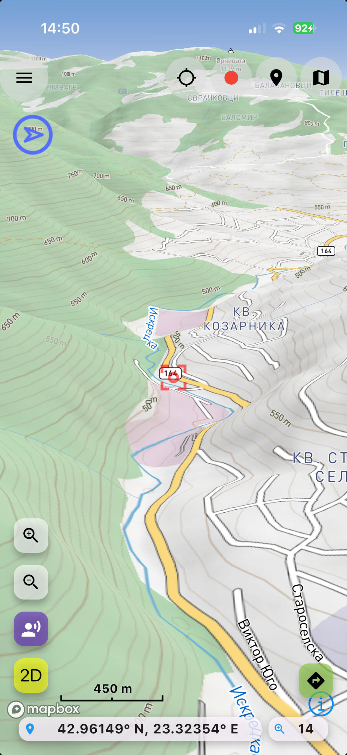
OruxMaps for iOS
Read more: OruxMaps for iOSOruxMaps for iOS Your Ultimate Companion for Outdoor Activities Download it from App Store! Are you an outdoor enthusiast, mountaineer, runner, cyclist,…? OruxMaps is the mobile application you’ve been waiting for. Specifically developed for professionals and enthusiasts…
-

Possible error in last versions (10.6.x)
Read more: Possible error in last versions (10.6.x)Possible error in last versions (10.6.x) In some cases it seems that Android removes the app permission to access the files, with the latest updates. If the app cannot access Tracks or maps, check that the following…
-
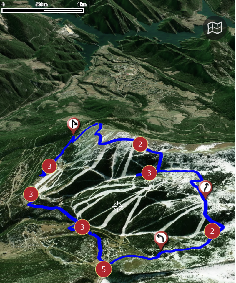
New route planner
Read more: New route plannerNew route planner In this video you can see how the new route planner works, combined with the 3D map viewer (subscription required). Youtube video